A visit to Manhattan isn’t something you should take lightly. Some people may want to just thrust themselves into the city lights and let the push and bustle of the crowd take them where it may. My adventure was a more planned affair, with lists of sights to see, places to eat, and department stores to shop.
I used my iPhone for tracking and planning my movements around Manhattan and also downloaded a number of applications before leaving. Each app offered its own insight, covering planning, navigation and even historical perspective.

1. TimeOut (Free)
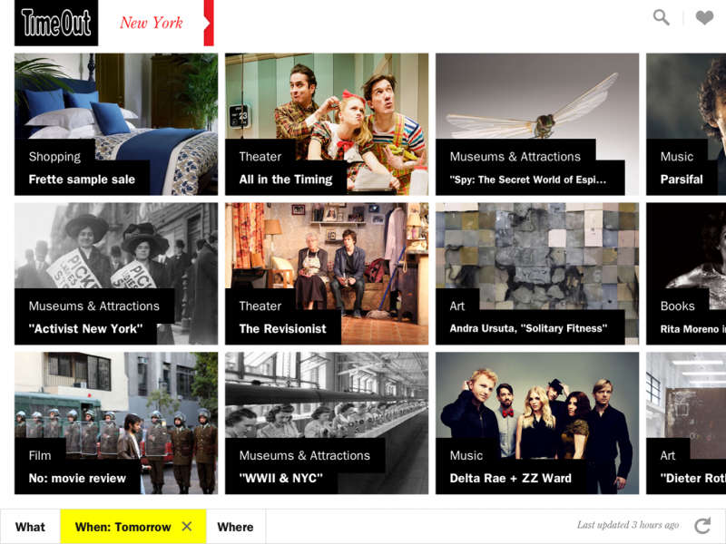
If you want to act like a local without permanently shifting zip codes, this is your app. Timeout is a print and web resource for people who live in major urban areas, ranging from New York to London, Dubai and beyond. Its New York app provides great insight into the city’s cultural events, nightlife, and eateries through its simple menu, which asks: What, When, Where? It can help you plan a trip by revealing what is taking place during your visit, or share random insights with your traveling companions.
2. Fodor’s City Guides – New York (Free)
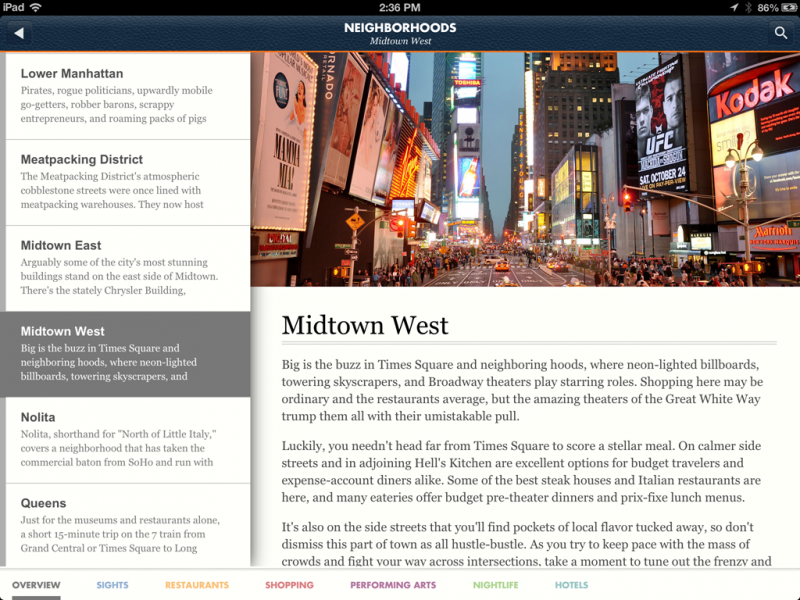
When planning a trip, Foder’s City Guides offers more tourist-oriented information. Its New York guide packages everything offered in the city’s various neighborhoods, allowing users to switch between sights, restaurants, shopping, performing arts, nightlife, and hotels. The lists are by no means exhaustive. However, they prioritize highlights so visitors on a quick trip won’t miss what’s happening right around the corner.
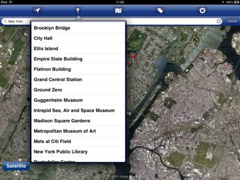
3. New York – Offline Map (Free - $4.99 for premium)
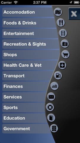
To be honest, I used offline maps of New York before the trip more often than while I was on the ground. I installed them on my iPad, but found it a little too large so I tended to consult Apple’s Maps or Google Maps on the iPhone in the heat of the moment. These apps, however, were very helpful in planning the trip and creating the itinerary of what to visit which day.
New York Offline Map product provides some basics, but its lack of detail is frustrating. Most notably, when zoomed in you won’t see street names for anything but major thoroughfares, and the names may be placed somewhere other than where you’re looking. The app does overlay the subway system onto the street maps, but it is very hard to read and not very informative about what to do based on where you are. However, if your cellular network and Wi-Fi both abandon you, this may be the only map you have unless you’re carrying around something on paper (heaven forbid!)
4. New York Subway Map – (Free)
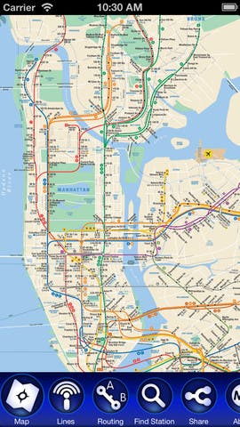
If you are looking for a subway map, this app does the job. Not only does it include the entire system, it offers guided instructions of how to get from point A to point B. If however, you don’t know which station is nearest your destination — as we experienced looking for a boat tour around the Statue of Liberty — then it isn’t much more helpful than its paper counterpart. If you have absorbed the language of New York and its subway system, then this app will prove a credible companion.
5. MapMatcher New York (Free)
MapMatcher offers the unique ability to compare a current map of New York with a historic or other representation of the city (like a tourist map). I found this a fun, if buggy, way to get some historical perspective of New York. Sometimes the maps I tapped on revealed only a white screen, but when it did work, it demonstrated how the city has changed overtime and how much more detailed our lives are now than they were in the past.
New York tends to just happen to you. Adventures in New York force choices, and as in life, those choices have consequences of distance and the sights seen along the way. Had we arrived at the Statue of Liberty tour with great expeditiousness then we would have missed the rather beautiful, if cold and breezy, walk along the Hudson River through Battery Park City and the Financial District. By not knowing the best path, we saw things that those on more constrained tourist leashes would never see.