How to Get Public Transit Directions in Apple Maps

Conner is a feature writer and contributor to iPhone Life, as well as an author, poet, and content creator.
Learn More Conner is a feature writer and contributor to iPhone Life, as well as an author, poet, and content creator.
Learn MoreIf you regularly take a bus or subway, or are planning a trip where you intend to use public transit, this article is for you. In certain cities, states, and countries, you can view turn-by-turn directions for buses, subways, and other modes of public transit.
Why You'll Love This Tip:
- Easily get public transit directions from the Maps app.
- Find the ideal route instead of trying to map it out yourself.
How to Get Public Transit Directions on iPhone
System Requirements
This tip works on iPhones running iOS 9 or later, but the screenshots below were captured on iOS 17. Find out how to update to the latest version of iOS.
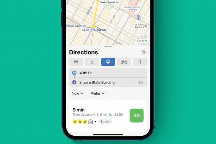
Public transit makes getting from one place to another easy, and Apple Maps makes this process even easier. Route options are multi-modal, which means if you want to go to the airport, Apple Maps may suggest you walk two blocks to the nearest bus station, travel to a subway station, and from there travel to the airport. As you can imagine, this is far simpler than attempting to map this out yourself. For more great tips and shortcuts for Apple Maps, like how to create a custom map, check out our free Tip of the Day newsletter. To view transit maps and get directions in Apple Maps:
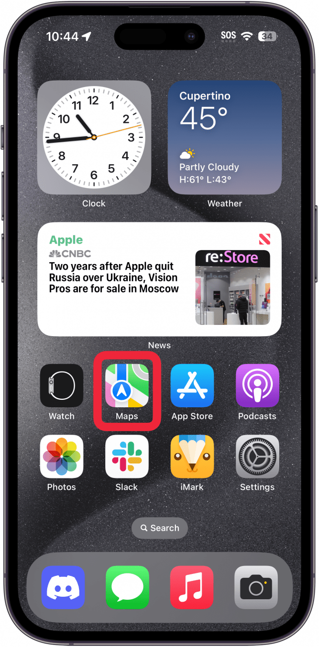
- Open the Maps app.
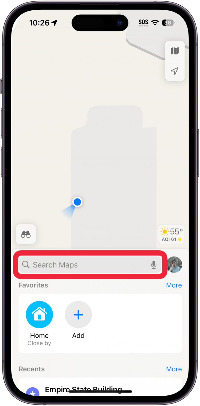
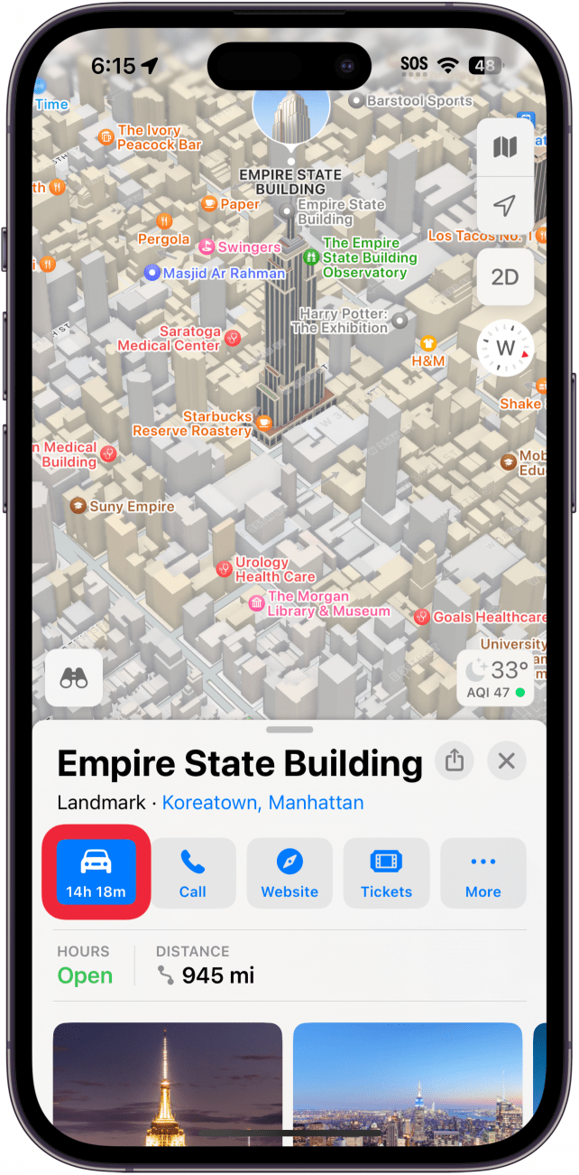
- Enter your destination in the Search bar.
- Tap Directions.
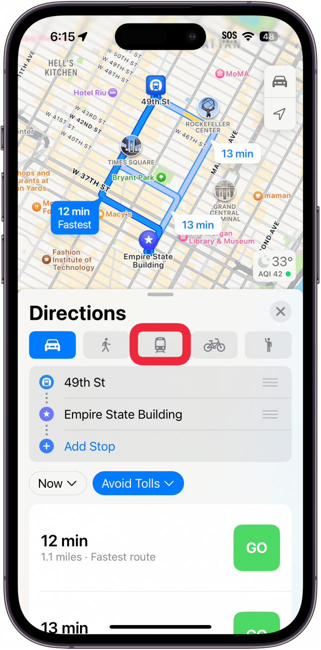
- Tap the Transit icon at the top of the route card.
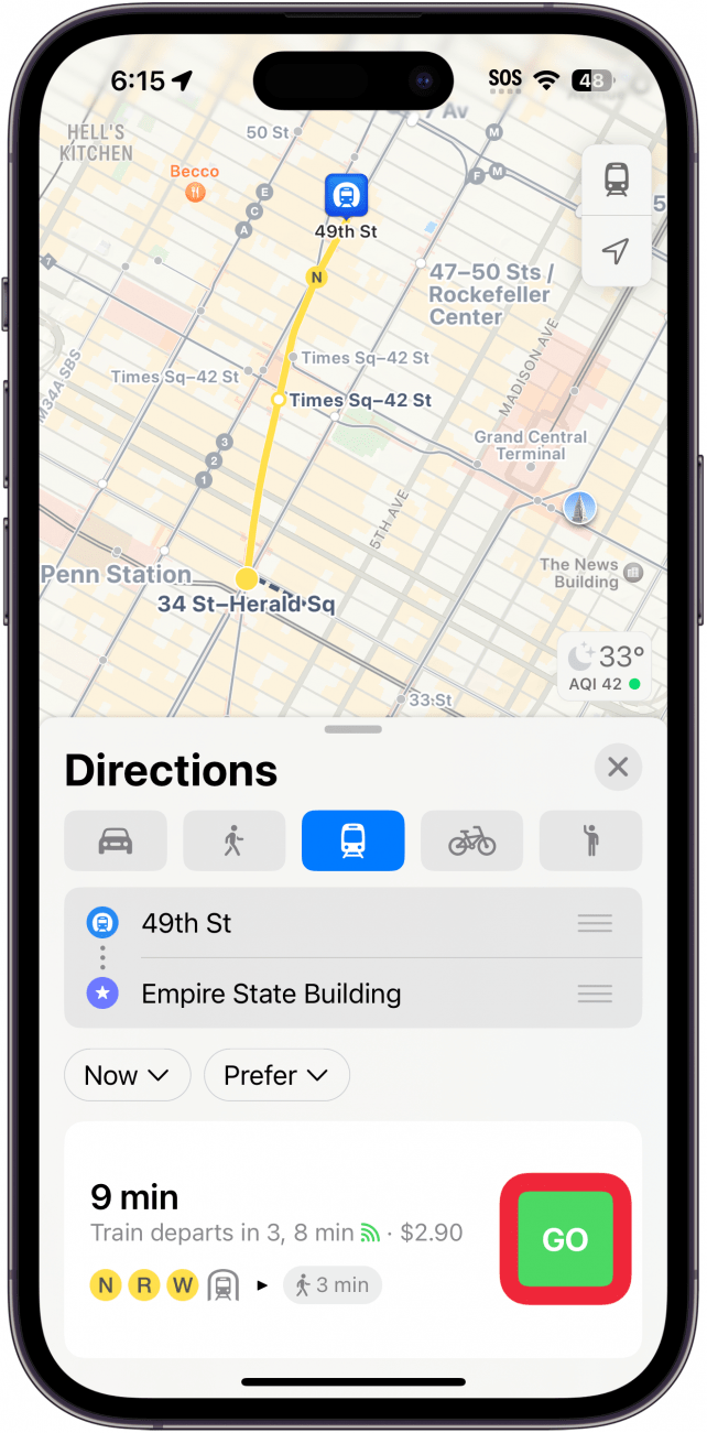
- Tap Go on your preferred route to begin turn-by-turn directions.
That's how to get public transit directions in Apple Maps! If you wish to avoid a certain type of public transit (such as the ferry) on your route, you can search for a destination and tap Directions. Above the route options, you will see a section titled Prefer. Tap to deselect any type of public transit you wish to avoid. Once you’ve done so, routes will recalculate to only use your preferred methods of travel wherever possible.
If your selected city doesn’t have real-time transit information, you can still get a lot of useful information from Apple Maps. In these cases, I can tap a bus or subway station on a map, and the card at the bottom of the screen will display upcoming routes and departure times for that station. It's a simple process, but it opens up worlds of convenience when using public transportation. Next, find out how to share ETA on iPhone.

Every day, we send useful tips with screenshots and step-by-step instructions to over 600,000 subscribers for free. You'll be surprised what your Apple devices can really do.

Conner Carey
Conner Carey's writing can be found at conpoet.com. She is currently writing a book, creating lots of content, and writing poetry via @conpoet on Instagram. She lives in an RV full-time with her mom, Jan and dog, Jodi as they slow-travel around the country.

 Hal Goldstein
 Olena Kagui
 Rachel Needell
 Leanne Hays

 Rhett Intriago