How to Take an Apple Maps Flyover Tour


Conner is a feature writer and contributor to iPhone Life, as well as an author, poet, and content creator.
Learn More Conner is a feature writer and contributor to iPhone Life, as well as an author, poet, and content creator.
Learn MoreDid you know that you can take a tour of a city from the comfort of your own home with the Apple Maps app? Apple has a feature called Flyover that allows you to view 3D modeling of large cities around the world. We’ll go over all the details of how to use the AR Flyover feature in Apple Maps below.
Why You'll Love This Tip:
- Travel the world and tour the sights, all without leaving your home.
- Check out a city and get a feel for the best landmarks before planning your next trip.
How to Use Apple Maps Flyover Feature
System Requirements
This tip was performed on an iPhone 12 running iOS 17.3 or later. Learn how to update to the latest iOS.
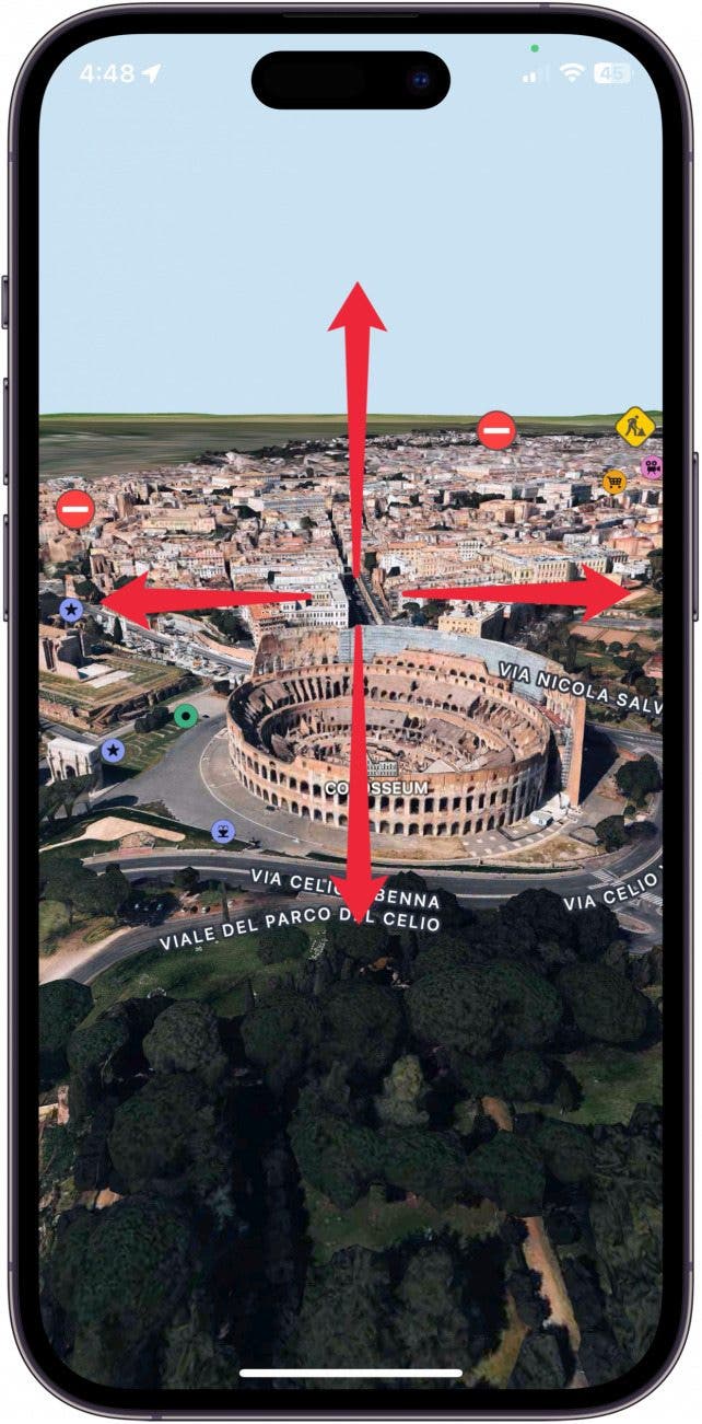
Flyover is an AR (augmented reality) feature, you can move your phone around to view the city in various ways. For example, if I position my phone parallel to the floor, I can see a complete bird’s-eye view of cities such as New York, Florence, or Rome. To learn about more ways to use Apple Maps, sign up for our Tip of the Day newsletter.
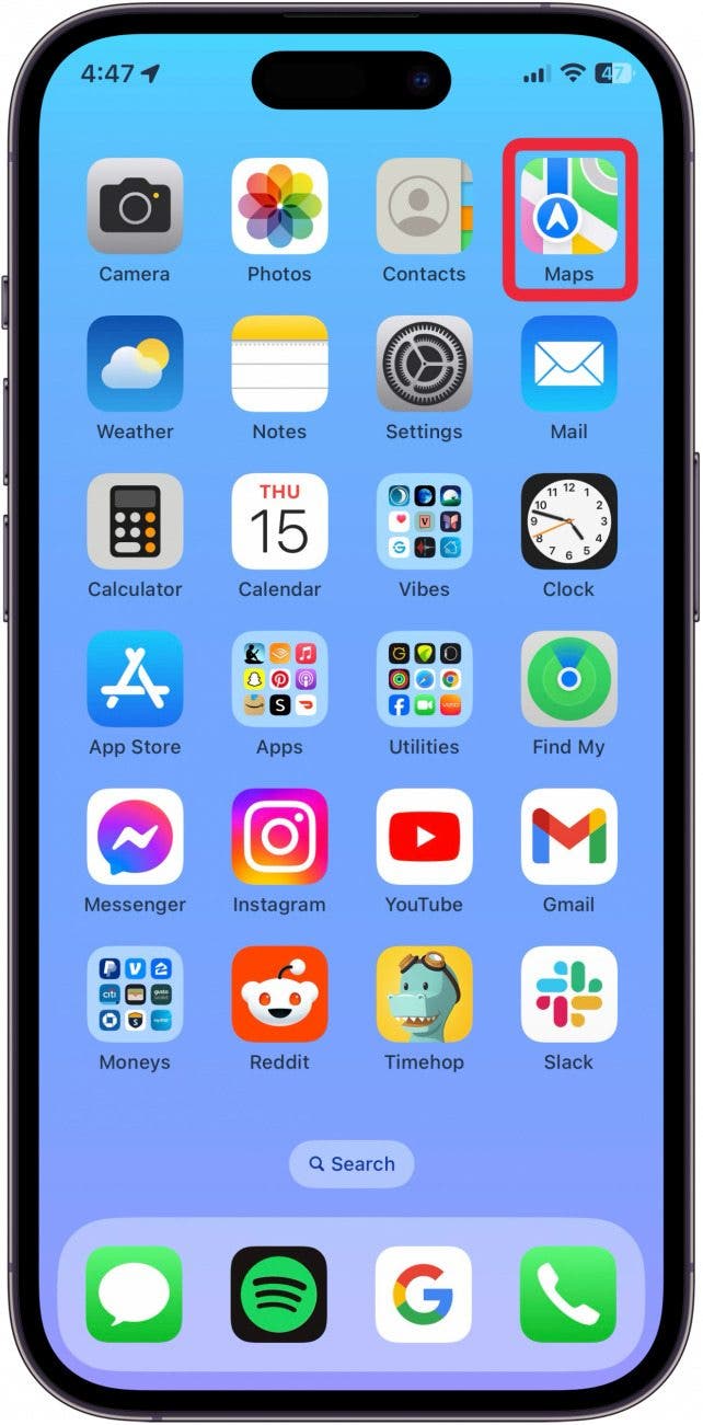
- Open the Maps app.
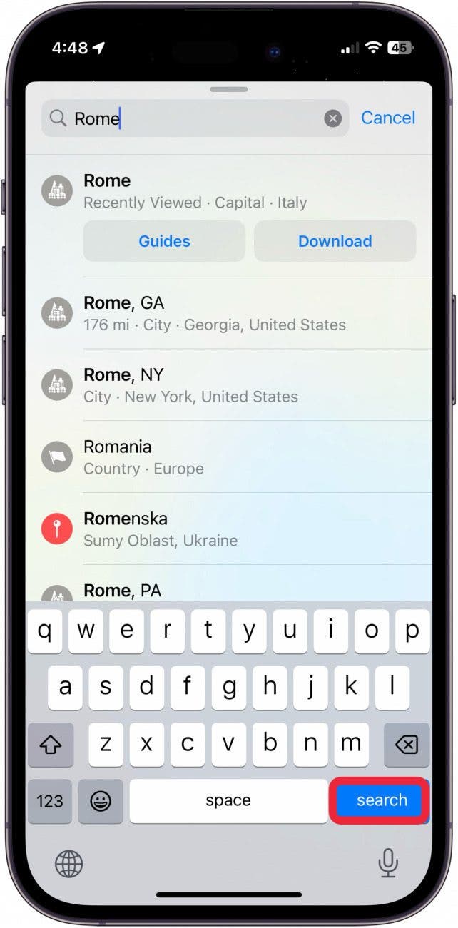
- Search for a city, such as Rome.
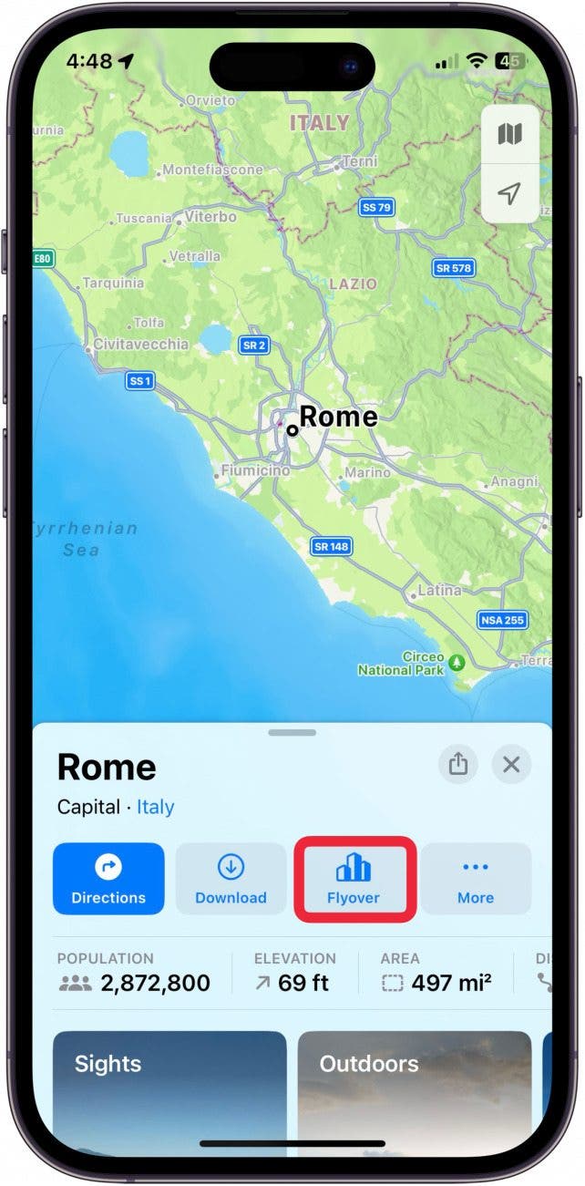
- Tap Flyover.
- Now, you're seeing an AR of the City! You can look around by physically turning your iPhone or by swiping on the screen.
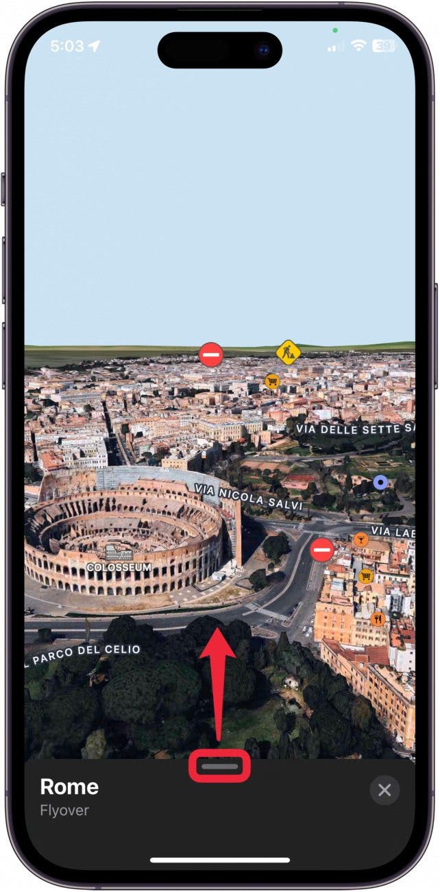
- Tap the screen and drag up the bottom menu to take the tour.
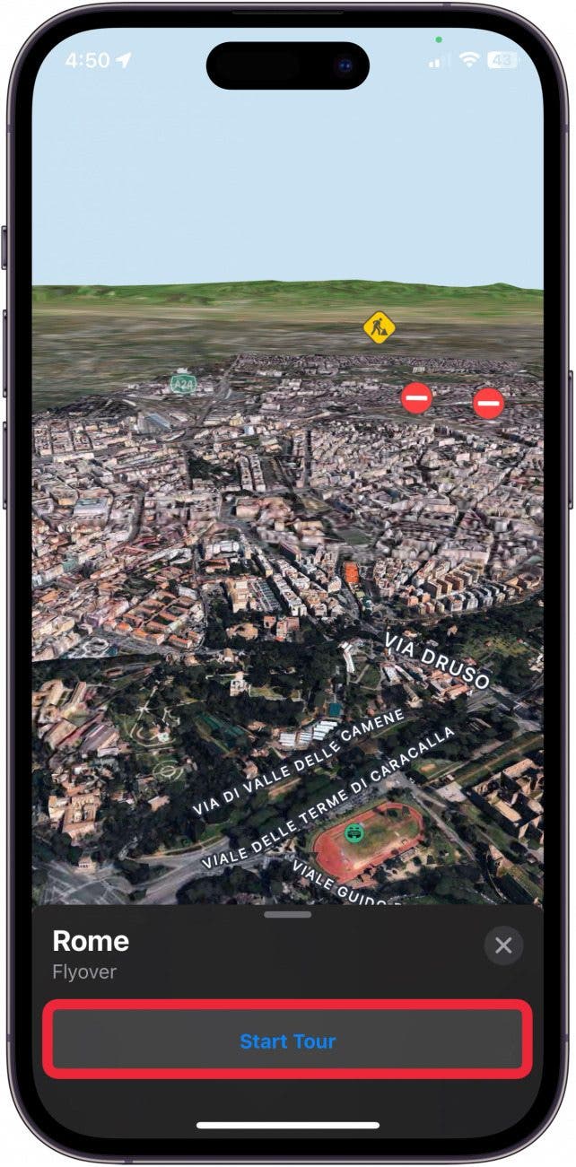
- Tap Start Tour.
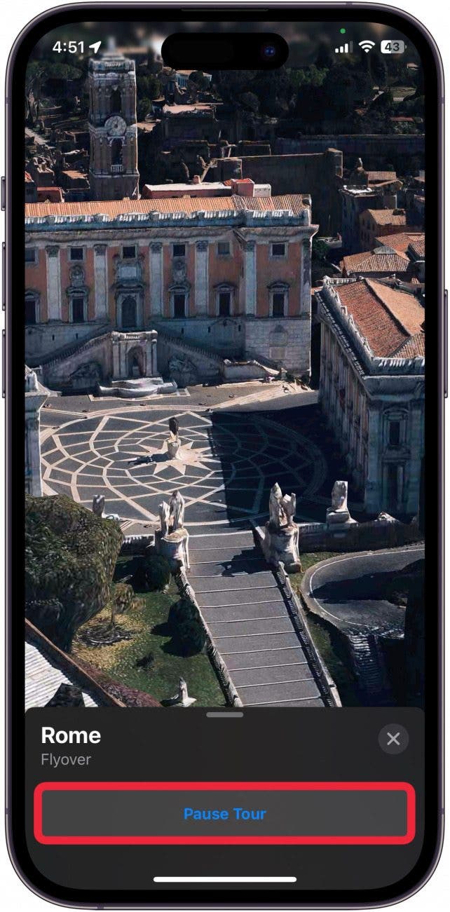
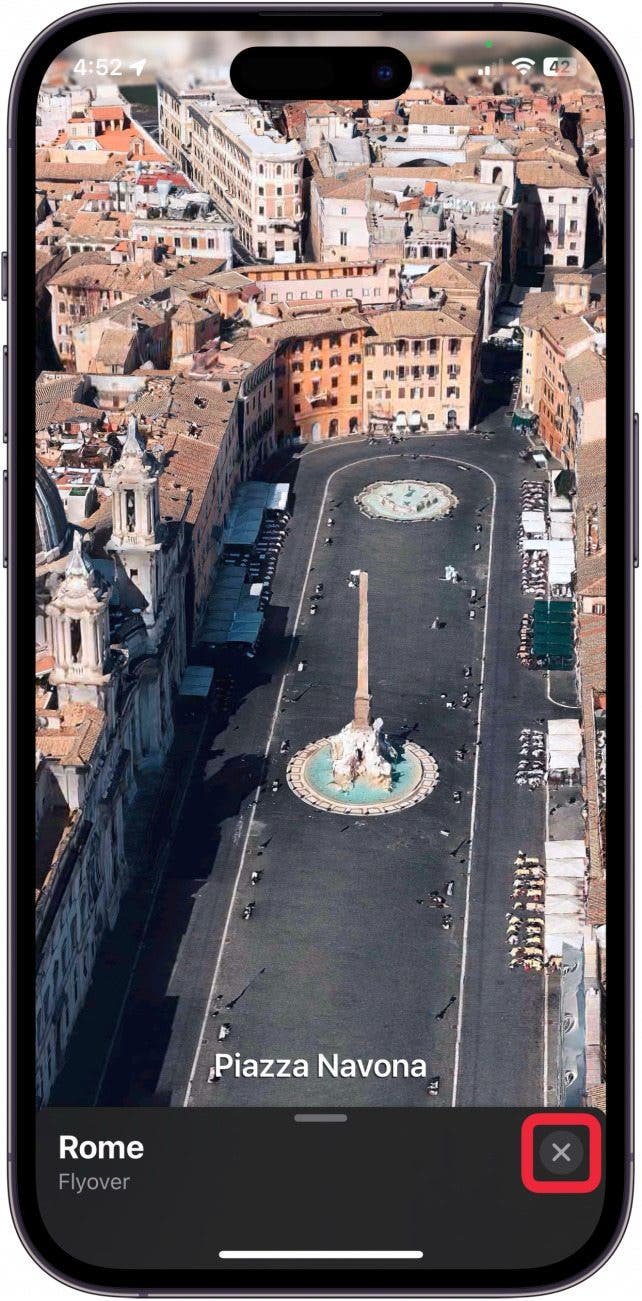
- You will be taken on a tour around the city, stopping at various monuments and landmarks with the name listed at the bottom.

- You can pause the tour by tapping Pause Tour.
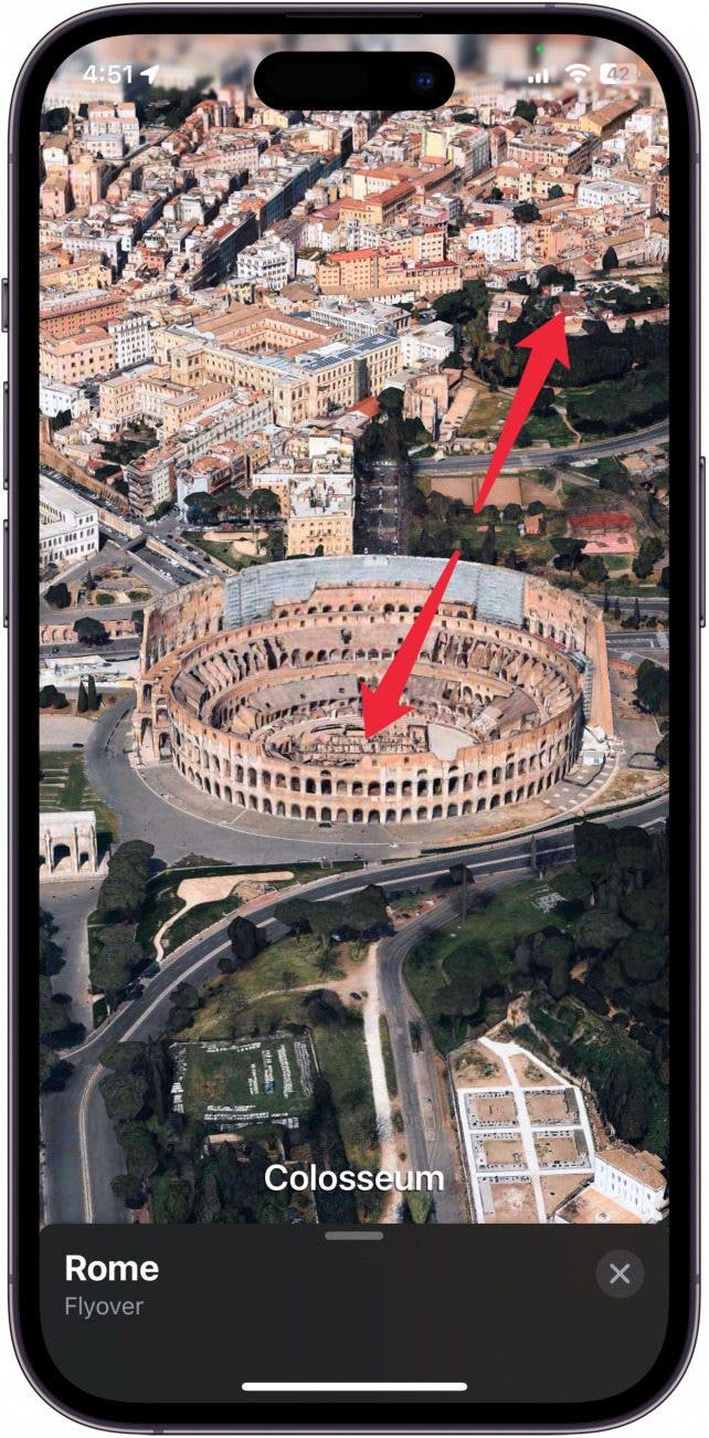
- You can also deviate in the middle of the tour if you want to see something better. When you let go of the screen, the tour will continue.
- You can exit the tour at any time by tapping the "x."
We expect Apple to continue adding more cities to the Flyover feature moving forward. You can also click to view the complete list of cities set up for the Flyover feature.

Conner Carey
Conner Carey's writing can be found at conpoet.com. She is currently writing a book, creating lots of content, and writing poetry via @conpoet on Instagram. She lives in an RV full-time with her mom, Jan and dog, Jodi as they slow-travel around the country.

 Brian Peters
 Rhett Intriago

 Olena Kagui
 Leanne Hays
 Rachel Needell

 Amy Spitzfaden Both